
October can be a month of drastic swings in temperatures across the United States with everything from blizzards to summer-like warmth still possible. Thus, it's always a good idea to check the forecast to know what to wear for outdoor fall activities such as weekend tailgating and heading to watch some football action.
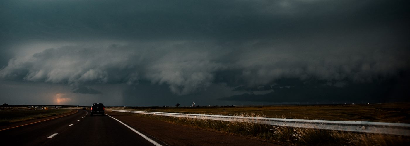
This weekend will be no exception. There will be a threat for some severe thunderstorms on Saturday from the Ohio River Valley region down through the lower Mississippi Valley, and as far west as northeast Texas. This comes out ahead of a cold front which will be pushing out of the Plains to end the workweek, stretching from the Great Lakes all the way down to central Texas by late Saturday. Heat, humidity, and instability will be building out ahead of this front which will serve to fuel severe thunderstorms on Saturday from southern Illinois, to southern Indiana, western Kentucky and Tennessee, southwestward to encompass much of Arkansas, northwestern Mississippi, northern Louisiana, and as far south as northeast Texas and far eastern Oklahoma. Damaging wind gusts, large hail, and even some tornadoes can't be ruled out.
Farther to the north in the vicinity of the Great Lakes, rain is likely with some non-severe thunderstorms also possible especially for eastern Wisconsin, to western lower Michigan, the eastern U.P. of Michigan, through much of the remainder of Illinois. Another area of rainy weather, with mountain snow, is expected to develop across western portions of Washington state as a cold front works onshore from the Pacific later on Saturday. Saturday is looking nice weather-wise, though, for much of the remainder of the country, as high pressure looks to dominate the weather pattern across much of the eastern third of the U.S.
For the NFL games on Sunday, as the cold front across the central U.S. continues to work eastward, conditions are still looking rainy in the vicinity of the Great Lakes with showers spreading eastward to especially the western two-thirds of New York state, into central and western Pennsylvania and down through much of the Appalachians with a chance for scattered thunderstorms as well. The chance for thunderstorms will extend all the way south to the Gulf Coast. A dry and sunny forecast, though, for all of the Plains eastward to Minnesota on Sunday in the wake of that front, and still a good deal of sunshine is expected from the southern Rockies to the Four Corners, and from central California on southward. The Pacific Northwest is looking rainy, though, as far south as northern California with some heavy mountain snow for the upper elevations of the Cascades.

