Meet the Meteorologist
What's your favorite weather phenomena?
What got you interested in the weather?
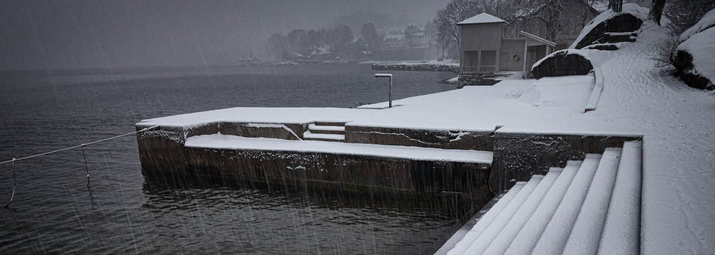

The term lake-effect snow is one that is commonly heard during the winter season. For folks that live downwind of any of the Great Lakes, the majority of the seasonal snowfall comes in the form of lake-effect snow. In fact, the Great Lakes see more of it than anywhere in the world! Let's dig into how lake-effect snow forms and why the Great Lakes receive so much of it.
The key ingredient involved in the development of lake-effect snow is cold air. In the fall and winter seasons, the Great Lakes retain some of the the warmth that was collected during the warm season and remain relatively mild as a result. As the arctic air masses propagate over the open lakes, the huge temperature difference between the water and the air a few thousand feet above it results in rising currents of air. This occurs because warm air is lighter than cold air, and therefore, the warmer air in contact with the lake becomes buoyant and rises into the cold dense air mass above it. The result is clouds of steam that penetrate upward, creating growing stratocumulus clouds.
The next vital ingredient is fetch, which describes the distance that the wind travels over the water. The longer the distance that the arctic winds travel over the open water, the greater the fetch. Greater fetch results in more moisture being sucked up out of the lake. Typically, a fetch of at least 60 miles is needed in order for lake-effect snow to develop. Since arctic air masses typically drive out of Canada in a northwest or westerly fashion, the eastern and southern shores of the Great Lakes see the greatest fetch, and therefore, the highest amounts of lake-effect snow.
Regional topography downwind of lakes can enhance the intensity of lake-effect snow. Just an increase in elevation of a few hundred feet will result in noticeably higher snowfall amounts, due to the increased vertical motions that occur when the air is forced to climb up the terrain.
In summary, the larger the temperature difference is between the lake and the air mass blowing above it, the heavier the lake-effect snow bands will be. Add in a large fetch where the wind direction stays fairly consistent, and the end result can be persistent snow squalls. This occurred in the Montague Township region in upstate New York back on January 11th, 1997. On that day, 40 inches of lake-effect snow piled up in just 12 hours! The event lasted three days, with final snowfall totals reaching around 95 inches.
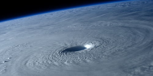
For a satellite view of lake effect snow showers click here.
https://eoimages.gsfc.nasa.gov/images/imagerecords/0/989/seawifs_lake_effect_lrg.jpg

 Derek Heit
 Jennifer Wojcicki
 Laura Lockwood
 Ray Miller