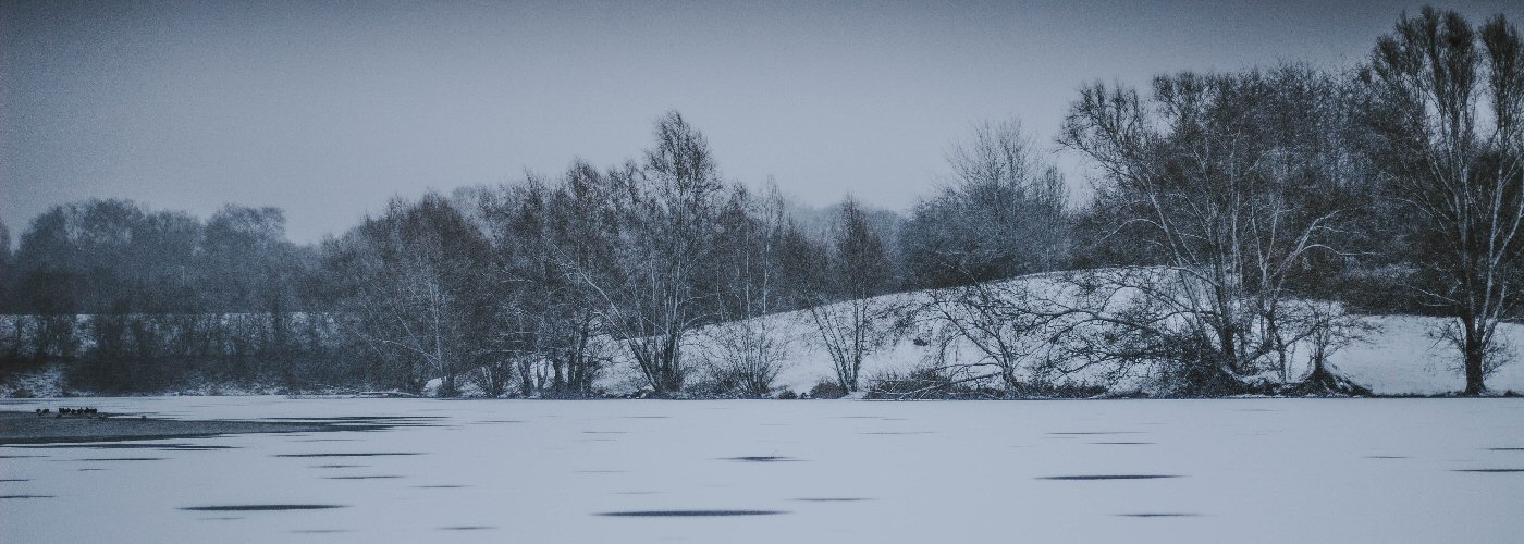

A disturbance with move through the Ohio River Valley, southeastern states and Mid Atlantic states today producing rain and snow. Parts of southeast IN, northern KY, and southern OH could pick up another inch or so early today with higher totals in the 2 to 4 inch range are possible further east into northeast KY, southern WV, western VA and far northwest NC throughout the day.
The biggest headline through the weekend however will be a major winter storm they moves out of the Rockies today, into the Plains tonight, and into the Midwest on Saturday before ending up in Ontario Canada early Sunday. This system will produce all types of weather including rain, accumulating snow, ice, and severe thunderstorm chances. Several inches of snow is expected in the Rockies today, western Dakotas tonight, eastern Dakotas and MN Saturday, northern WI, northern lower MI and the UP of MI on Saturday and then into northern New England on Sunday. The greatest chance for 6 or more inches to accumulate will be in the mountain regions, eastern SD, and central MN. There will be a transition zone where more ice is possible than rain or snow located in the vicinity from northeast NE east through northern IA, southern MN, central WI, and central lower MI. Some of these areas could get up to .25 inch of ice. Finally south of these regions will be all rain and a few storms, and some of the storms that develop could become severe as early as late tonight in eastern OK, northeast TX, and the Ozarks. better chances for severe storm activity will come on Saturday in these same areas as well as parts eastward including AR, MS, AL, northern LA, and western TN.
