Meet the Meteorologist
What's your favorite weather phenomena?
What got you interested in the weather?
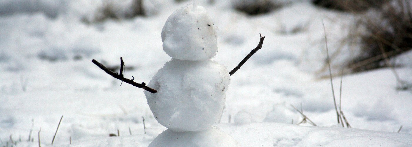

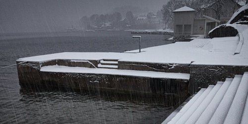
More low pressure systems affect parts of the country over the weekend producing more snow in the Rockies, ND, and MN, and heavy rain potential in TX by Sunday evening. The first low exits the northeast early today, so precipitation will gradually end in that region. The second low will be an Albert Clipper type system tracking from MT today to the Great Lakes on Sunday with a few inches of snow possible in its path especially today in eastern MT and ND, then northern MN tonight with heaviest amounts north of I-94. Finally the third system tracks southeast through the Rockies today and into west TX on Sunday producing more snow in the Rocky Mountain region throughout the weekend and rain in TX by Sunday some heavy possibly in east TX by Sunday evening and overnight.
 Paul Trambley
 Derek Heit
 Jennifer Wojcicki
 Laura Lockwood
 Ray Miller