Meet the Meteorologist
What's your favorite weather phenomena?
What got you interested in the weather?
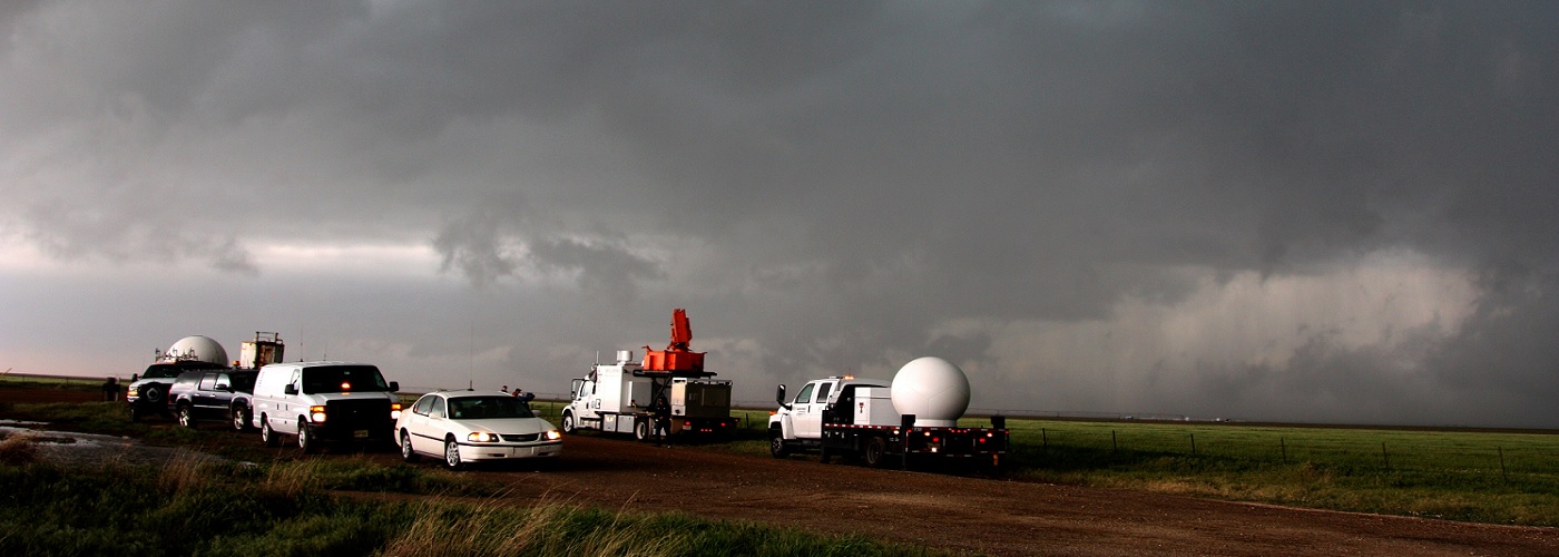

The most common radar display that the public is familiar with is called radar reflectivity. This is the general display that is commonly shown on TV or any weather app. Let’s look into how this product is generated and how it can best be interpreted.
Doppler radar works by sending out radio waves and then listening for any return energy that is reflected back to it. When a radio wave runs into anything suspended in the atmosphere, a portion of that energy is reflected back to the radar site. Radars are sensitive enough to detect insects, dust, or any other small particles that may be hanging in the atmosphere. These small objects will only reflect a small amount of energy back to the radar. When the emitted radio waves run into larger objects, such as raindrops, a higher amount of energy is returned back to the radar site.
The basic concept is that the larger the object or objects, the greater energy return back to the radar site. The different colors you see on a radar reflectivity display correspond to the number of decibels. Think of the amount of decibels as an approximation of how loud the return energy is at the radar site. Low decibel values are usually given a blue to green coloring, while higher decibel values are shaded in red to purple.
Clusters of large raindrops in thunderstorms will result in the yellow to red shadings, while clusters of small raindrops will tend to show up as green on the display. Hail gives the largest values of reflectivity and is usually seen as darker red, to even white, shading.
Radar operators can adjust the sensitivity of the radar based on what is occurring. When there is no precipitation near the radar site, the radar is put into a mode known as clear air mode. This mode is also used when snow is falling, because snow does not reflect as much energy back to the radar as rain. The mode used when rain is falling in the radar’s coverage area is known as precipitation mode.
For a look at an image derived from radar reflectivity click here.
https://www.weather.gov/images/jetstream/doppler/fdr_baserefl.jpg
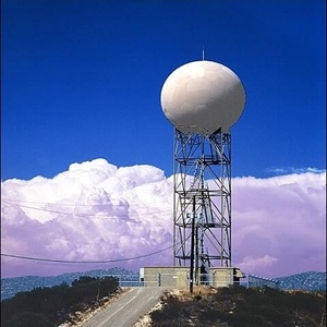
For a look at where Doppler radar units are located around the US click here.
https://www.roc.noaa.gov/wsr88d/Images/USACoverageBoB10kFt.png
 Derek Heit
 Jennifer Wojcicki
 Laura Lockwood
 Ray Miller


