Meet the Meteorologist
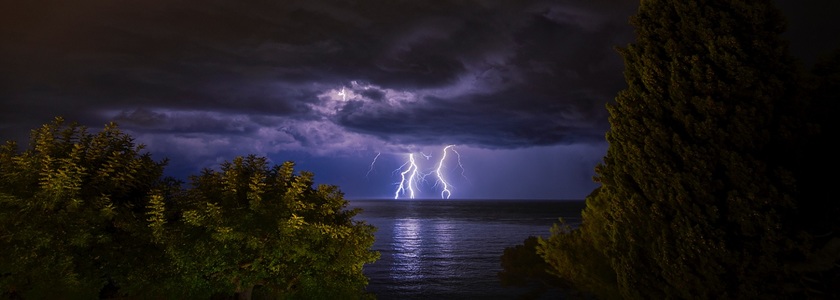
What's your favorite weather phenomena?
What got you interested in the weather?

Two storm systems affect the country through the weekend producing heavy rain, heavy snow, and severe weather.
The first system begins the day in the lower MS River Valley and tracks northeast through the day getting into the eastern Great Lakes by tonight, then turns eastward moving through New England overnight and Saturday. Several inches of snow is expected on the northern part of this system affecting northern IN, northwest OH, lower MI, much of NY, VT, MA, NH, and southern ME. Widespread soaking rains are expected as well with an inch or more likely in the Ohio River Valley, southern New England, and the northern Mid-Atlantic states. The highest rain accumulations will be in southeast IL and central/southern IN where 2-3 inches are looking likely. Severe storms are possible ahead of the low center across a good chunk of the Southeast and Ohio River Valley with the better chances coming in central KY, eastern TN
The second system will get going in the northern Plains late Saturday night and makes it into northeast MN/northwestern WI by Monday morning. Several inches of snow is anticipated on the northern side of this system also affecting ND, central/northern MN, and possibly into northern WI and the UP of MI. On the southern side of this system light rain or a mix is possible in southeast SD, southern MN, northern IA, and central WI.
 Paul Trambley
 Derek Heit
 Jennifer Wojcicki
 Laura Lockwood
 Ray Miller