Meet the Meteorologist
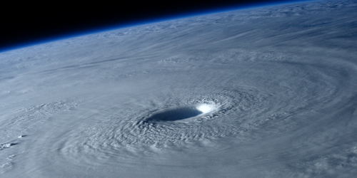
What's your favorite weather phenomena?
What got you interested in the weather?


2 slow-moving fronts will be the main focal point for active weather through the weekend. One will be located in the northern Gulf of Mexico just off the coast, and the other from near the CO/NE/WY boarders northeastward into MN/WI/UP of MI region. A few storms in the central and northern Plains and Midwest could be severe but no outbreaks are expected.
The front in the northern Gulf of Mexico will mainly affect areas along the entire Gulf Coast from southeast TX eastward to FL with isolated to scattered storm activity throughout the weekend.
Further north more isolated to scattered storms are expected in the vicinity of the front with great chances occurring when short wave troughs move across the northern part of the country. The higher chances are expected to be in northeast MN, far northwest WI, and the west part of the UP of MI and possibly western NE this evening and overnight and then in New England on Sunday with the first trough. Chance will increase once again with the second trough beginning Saturday evening in the western Dakotas and the panhandle of NE, and building east into Sunday affecting MN, WI, IA, UP of MI, northern MO, and eastern KS.
The western part of the country looks fairly quiet through the weekend with the exception of scattered high based storms this afternoon and evening in parts of the southwest and the southern Rockies.
 Paul Trambley
 Derek Heit
 Jennifer Wojcicki
 Laura Lockwood
 Ray Miller


