Meet the Meteorologist
What's your favorite weather phenomena?
What got you interested in the weather?
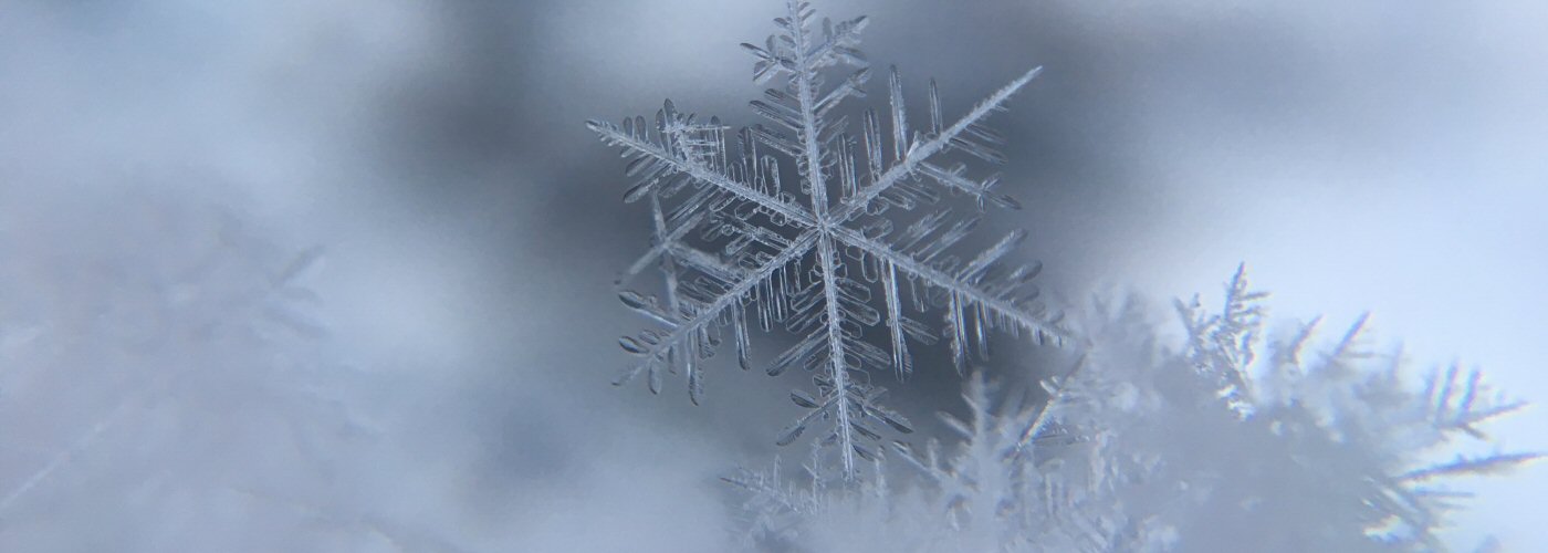

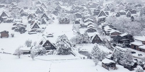
More snow in the forecast today as a low pressure system intensifies in the Great Lakes region. Several inches of snow accumulation is expected in this region, with the highest totals coming in the lake effect snow belts where a foot or more is possible. Accumulating snow potential builds east through the day into northern New England, especially in northern NY and western ME.
Soaking rains develop for the Mid Atlantic states and eastern New England this afternoon and tonight as a low pressure systems develops off the Mid Atlantic coast and tracks to the northeast. Showers will extend well south along a cold front that will extend all the way to the southern states and as far west as south TX.
Another system builds into the northwest later today bringing back snow shower chances to northern ID and MT and then northwest ND late tonight.


 Paul Trambley
 Derek Heit
 Jennifer Wojcicki
 Laura Lockwood
 Ray Miller


