Meet the Meteorologist
What's your favorite weather phenomena?
What got you interested in the weather?

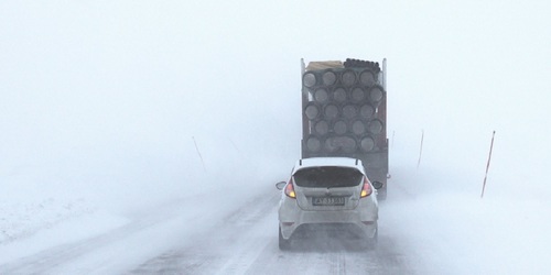
Winter storm moves east from the Plains today through the weekend with precipitation gradually ending beginning late Sunday morning on the east coast and completely done by Sunday evening. Several inches of snow accumulation from SD east southeastward to northern IL and southern WI by Saturday morning and from southwest lower MI and northern IN eastward into New England over the weekend. Heavy rain will be possible with this system as well developing in eastern AR western TN and KY overnight and then moves eastward through the weekend affecting the southeastern states and southern parts of the Mid Atlantic states.
The Pacific Northwest stays active through the weekend with several more inches of snow in the mountains and the heaviest rain occurring west of the Cascades in western WA and OR, and northwest CA.
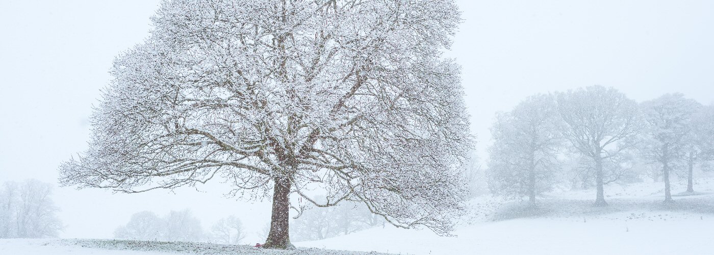
A surge of arctic air heads into the north central part of the country behind the system moving through the east with highs staying below 0 in eastern ND and northern MN today and into the weekend and highs in the single digits above 0 further south into southern MN eastern SD, northern WI and the UP of MI
 Paul Trambley
 Derek Heit
 Jennifer Wojcicki
 Laura Lockwood
 Ray Miller