Meet the Meteorologist
What's your favorite weather phenomena?
What got you interested in the weather?
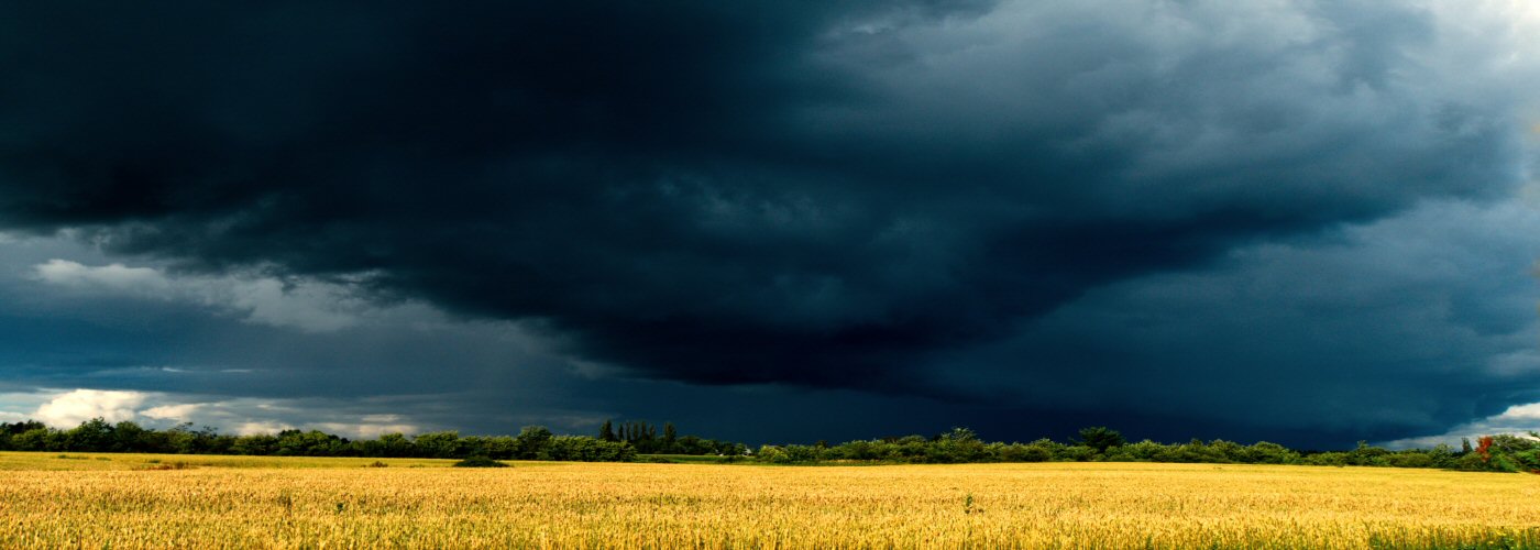

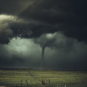
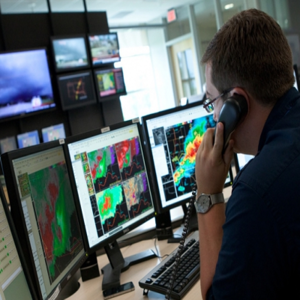
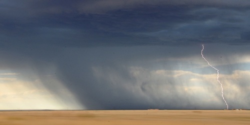
It was one of the most active periods for severe weather in U.S. history. From May 17 – 29, 2019, over 300 tornadoes touched down across a large swath of the eastern two-thirds of the country. In fact, May 2019 goes down as the second most active May for tornadoes since 1950, behind May 2003. Now a team, headed by Dr. Victor Gensini of Northern Illinois University, has presented another superlative associated with this noteworthy severe weather outbreak; they produced the first successful extended-range severe weather forecast (3-4 weeks in advance).
Normally, computer weather models can only reliably predict the environment favorable for severe weather, including tornadoes, up to about a week in advance. However, the Extended Range Tornado Activity Forecast (ERTAF) team of scientists examined a particular pattern in tropical thunderstorm activity that recent research suggests can have an influence on severe weather in the United States. This pattern, called the Madden-Julian Oscillation (MJO), is an eastward moving area of enhanced rainfall and thunderstorm activity that travels near the equator and completes a cycle around the Earth in 30 – 60 days, on average. At the same time, they also looked at the Global Wind Oscillation (GWO) which is a measure of the amount of waviness in the jet stream.
Prior to the severe weather outbreak, in the latter part of April, an area of enhanced storm activity near the equator in the Indian Ocean moved eastward into the Pacific. These storms worked to enhance the jet stream over the Pacific. Subsequently, this Pacific jet broke in a wave-like pattern over the western portion of North America eventually setting up a persistent dip, or trough, in the jet stream across the western United States. Such a persistent configuration, combined with warm-moist air closer to the ground in the central and eastern U.S., provided the necessary instability and wind shear (aided by the jet stream aloft), to produce the prolonged severe weather event over the latter part of May.
In the future, if more instances of this type of extended range severe weather forecasting prove successful, forecasters may be able to use the connection between these global weather patterns to help predict the next big severe weather outbreak on a more operational basis.


 Paul Trambley
 Derek Heit
 Jennifer Wojcicki
 Laura Lockwood
 Ray Miller


