Meet the Meteorologist
What's your favorite weather phenomena?
What got you interested in the weather?

As we are in the middle of another severe weather season, it can be helpful to be able to recognize and identify certain cloud formations that can occur when severe storms are approaching. Specific cloud features can be indicative of the type of severe weather that is most likely to occur. Let's look at a few cloud formations that are commonly seen in strong to severe thunderstorms.
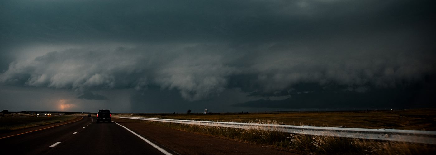
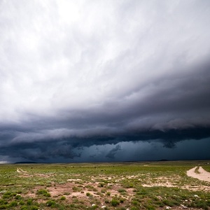
Wall clouds and shelf clouds are oftentimes associated with severe weather. The ability to identify which one is approaching can give you a heads up on what you may be about to experience. A shelf cloud (also referred to as a roll cloud) is a low hanging cloud bank that covers the entire horizon. These clouds (seen on a link below) are often seen just before damaging straight-line winds occur. On rare occasions, a brief, weak tornado can also spin up in the presence of these clouds. Shelf clouds tend to be associated with a well-defined line of storms, while a wall cloud will tend to be associated with a discrete type of storm cell known as a supercell. A wall cloud is a more compact, low hanging cloud (seen in the link below). At times, the wall cloud may rotate, at which point it becomes a mesocyclone. Most tornadoes form from the bottom of wall clouds, and large hail and high winds can also occur in the vicinity of them.
A cloud formation that can make for confusion when identifying a tornado is known as scud. Scud clouds are jagged looking low clouds that can form near the base of a wall cloud. These clouds can therefore easily be mistaken for a tornado. There are a few characteristics of scud clouds that can make it easy to identify them. They tend to be broken up into fragments, rather than being a solid cloud mass extending down from the base of the wall cloud. Also, unlike tornadoes, scud clouds will not rotate. The key to confirming a tornado is the verification of organized and sustained rotation occurring around a nearly vertical axis.
The ability to identify the different types of cloud formations can give you a heads up on what may be headed your way. When severe weather strikes, always seek shelter immediately. Weathering the storm in a basement is always going to be the best option. If there is no basement available, then an interior room on the lowest level of a home or building is going to be your best bet. If you are caught outdoors and are unable to find a nearby shelter, then find an area away from trees if possible.
 Derek Heit
 Jennifer Wojcicki
 Laura Lockwood
 Ray Miller