Meet the Meteorologist
What's your favorite weather phenomena?
What got you interested in the weather?
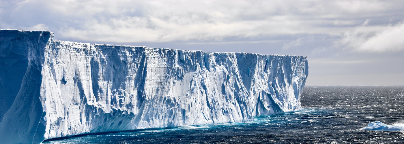

When the media begins throwing the term "polar vortex" around at some point each winter season, worries of an unprecedented cold snap can be evoked. In reality, the polar vortex is an entity that has always been impactful during the winter season. Aside from those who suffer from cryophobia (the fear of cold), the impacts of the polar vortex should not be something that incites worry. Let's dig into when this term became widely recognized and what it's all about...
Back in January of 2014, an arctic blast pummeled the Great Lakes region, along with much of the East Coast. This cold air event spawned the use and, oftentimes, overuse of the term “polar vortex.” Some media outlets use the term any time a sizable cold front moves across the country. In reality, all cold fronts are not linked to the polar vortex. The term "polar vortex" is defined by meteorologists as an area of low pressure that coincides with the pool of arctic air that encircles the North or South Pole. The strength of the polar vortex increases every autumn in response to the diminishing amount of sunlight that reaches the Arctic. By early winter, much of the Arctic has been in total darkness for several weeks, leading to an intensifying pool of arctic air circling the pole. The polar vortex becomes most concentrated when its outer edge is near 60 degrees latitude (the image provided illustrates this setup). This is most common when the polar jet stream winds are especially strong and in a fairly zonal orientation from west to east. At different points in the winter, the polar jet stream, which borders the polar vortex, will go through periods where it becomes particularly wavy. This is brought on by the formation and propagation of strong low and high pressure systems along the polar jet. This type of scenario acts to redistribute the core of arctic air in the polar vortex to further southern latitudes. The most bitter periods during the winter are often linked to this effect, making it nothing new to report on. In fact, the term "polar vortex" appeared all the way back in an 1853 issue of a magazine called Littell’s Living Age!
The next time you hear headlines full of the frightful upcoming onslaught of the polar vortex, you can rest assured knowing that it is a common occurrence during the winter season. Do have your heavier winter wear at the ready, but don't give in to the panic the term has instilled in some.
Check here for a graphical look at the polar vortex. https://www.noaa.gov/sites/default/files/styles/landscape_width_1275/public/legacy/image/2021/Mar/GRAPHIC-the-science-behind-the-polar-vortex-explained-updated%20020221-4034x3370-original.jpg?itok=cdjQaNoQ
 Derek Heit
 Jennifer Wojcicki
 Laura Lockwood
 Ray Miller


