Meet the Meteorologist
What's your favorite weather phenomena?
What got you interested in the weather?
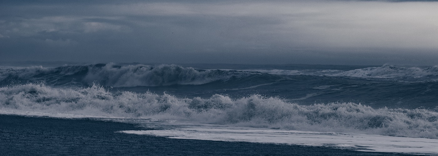

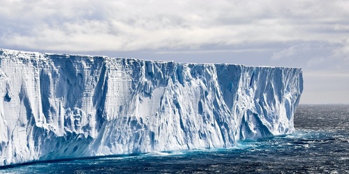
Most of us are familiar with what a tsunami is, but there is a related phenomenon, called a meteotsunami, that probably sounds strange to many. Tsunamis are large waves that develop due to a significant disturbance in the ocean. Undersea earthquakes and volcanic eruptions are the most common triggers when it comes to tsunamis. In contrast to the undersea origins of tsunamis, meteotsunamis occur due to weather conditions that occur above the sea. Until recently, the meteotsunami was an enigma, but researchers are now getting a much better picture at what atmospheric conditions can portend their development.
Any coastal area along the ocean or one of the Great Lakes can be subjected to the sudden rise in wave action created by a meteotsunami. The catalyst for meteotsunami development is a sudden drop in air pressure created by a quick moving weather system. The most common system to blame is a fast-moving line of strong to severe thunderstorms that pushes across a body of water. Tropical storms and intense low pressure systems can also be responsible for some meteotsunami events.
To understand how a rapid change in air pressure can cause a meteotsunami, think of the measurement of air pressure at the surface as a proxy of how much weight is being exerted on the water from above. When air pressure rises and drops in a fast manner, the surface of the water is disturbed. Picture what happens in a bathtub when you push your hand down on the water and then push it along the surface. Waves will emanate from where you cause the disturbance, much as they do on a large body of water when there is a sudden change in air pressure moving across it.
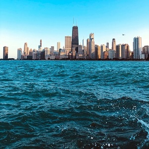
Thankfully, meteotsunamis tend to be smaller than tsunamis, as most events create wave action that is 2 feet or less in height. Although, some events have resulted in sudden wave height increases of over 6 feet. The East Coast of the US is typically subjected to around 25 per year, while portions of the Great Lakes see over a dozen annually. The southern shore of Lake Michigan sees the highest frequency, with a whopping 30 expected each year!

 Derek Heit
 Jennifer Wojcicki
 Laura Lockwood
 Ray Miller