Meet the Meteorologist
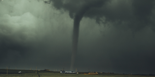
What's your favorite weather phenomena?
What got you interested in the weather?
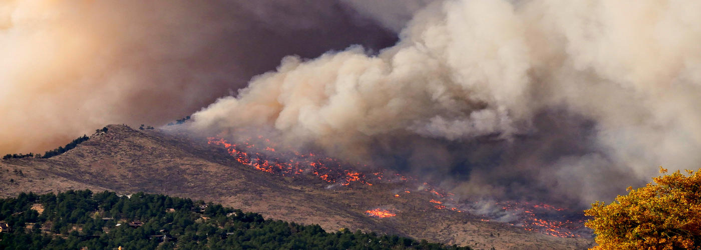

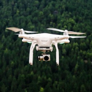
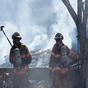
As the wildfire season continues to ramp up across the western United States, new technology is being deployed that may soon aid the ever-important ground-based firefighting effort. Both research institutions and startup companies are developing satellites, drones, artificial intelligence, and cloud computing to aid in this effort.
Time is of the essence when it comes to combating fires and in fire mitigation. Currently, the U.S. Forest Service provides situational awareness tools to aid firefighters and incident commanders in the field. However, the satellite data used can take hours to analyze and send. Back in 2014, the U.S. Department of Homeland Security funded a system called Rapid Analytics for Disaster Response, or RADR that uses images from platforms like drones, satellites, and artificial intelligence to monitor natural disasters, including wildfires. A more fire-focused version of the program called RADR-Fire can map the boundaries of current wildfires several times per day and also calculate the risk to nearby structures and infrastructure.
Even more ambitious efforts are being funded by startup companies around the world like OroraTech, which is a German company that is aiming to launch a constellation of mini shoebox-sized satellites that will each have a thermal infrared camera aboard. This constellation of satellites will enable near real-time monitoring of fires across the globe and will be able to spot any fire larger than 33 ft (10 m) in size within an hour of it starting.
A group of scientists at the University of California, San Diego's WIFIRE Lab puts out a fire map that enables firefighters as well as other researchers to model the future behavior of fires in real time. Using information from previous fires as well as artificial intelligence to analyze current conditions, their system can predict where mitigation efforts like prescribed burns can provide the most protection by keeping the level of dead and dry underbrush from becoming fuels for new uncontrolled fires.
 Paul Trambley
 Derek Heit
 Jennifer Wojcicki
 Laura Lockwood
 Ray Miller