Meet the Meteorologist
What's your favorite weather phenomena?
What got you interested in the weather?


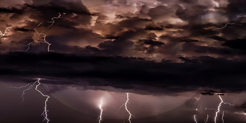
A low-pressure system that produced soaking rains and severe weather in the Plains and Midwest the last couple of days continues to head into and through eastern Canada through the weekend. A cold front associated with this system will initially extend from the eastern Great Lakes south and west all the way to southern NM and northern TX, and a warm front extends southeast into the Mid-Atlantic region. Shower and storm activity will be focused in the vicinity of these front through the weekend with the best chances today coming in the eastern Great Lakes and southern NM, northern TX, and southeast AZ regions. Over the weekend the active weather becomes more isolated to scattered from New England south to FL and west to AZ.
Further west an upper ridge will begin to amplify over the Rockies today and then the Plains and Midwest over the weekend setting up a dry and warming trend for these regions while active weather returns to the Pacific Northwest including western WA and OR through the weekend and getting to northern CA by Sunday.
Another tropical storm is expected to develop in the Bahamas over the weekend and bring gusty winds and heavy rains for some of the same areas just affected by Dorian including the east coast of FL by Saturday.
 Paul Trambley
 Derek Heit
 Jennifer Wojcicki
 Laura Lockwood
 Ray Miller