Meet the Meteorologist
What's your favorite weather phenomena?
What got you interested in the weather?
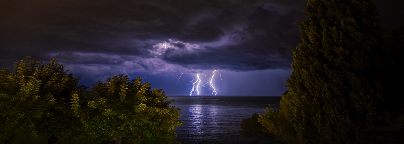

At any given time, around 2,000 thunderstorms are occurring across the globe. The U.S. is one of the most volatile places in the world when it comes to thunderstorm activity. On average, 100,000 thunderstorms impact the U.S. each year and around 10% of these storms reach severe levels. Let's take a look into what it takes to make a storm severe, and also look at what part of the country tends to see the most severe thunderstorms in a year.
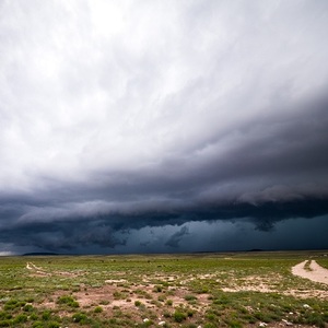
In order for a thunderstorm to be categorized as 'severe,' it must meet a certain criteria. A severe thunderstorm is defined as a storm with one or more of the following: hail that is one inch or larger in diameter, wind gusts over 58 mph, and/or isolated tornadoes. These types of storms are most common across the central and eastern portions of the lower 48.
A large part of the reason that this part of the country is most susceptible to severe weather, is the ease with which high levels of humidity can blanket the area. Under the right pattern, southerly flow out of the Gulf of Mexico builds high levels of low level moisture northward. So, when you feel the humidity rise, the atmosphere is usually building potential energy. Although, high humidity does not create strong to severe storms. In ideal circumstances, the winds in the atmosphere change in speed and direction with height and there is colder and drier air that resides above the surface. When these atmospheric factors are present, the atmosphere has been loaded with the fuel needed for thunderstorms to blossom. However, the fuel goes to waste, unless there is a forcing mechanism to light the match and see all the stored up energy be unleashed. Frontal boundaries, upper level troughs, and jet streaks can serve as the match needed for the conflagration of thunderstorm activity to occur. Without one of these mechanisms, the stored up energy will not be released, and a quiet, hot, and humid day will be the only thing seen.
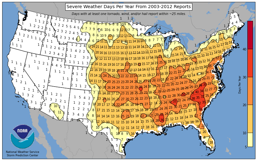
The provided image below illustrates how many days of severe thunderstorms can be expected during the year. Notice how the greatest frequency of days with severe storms occur over the central Plains and Southeast U.S. This area is in a favorable proximity to the Gulf Coast and can tend to see more frequent forcing mechanisms resulting in the development of thunderstorms. Data that was compiled from 2003 to 2012 showed that, during that period, the western Carolinas experienced the highest number of days of severe weather annually (38-40 days).
For a look at what areas of the country saw the most severe weather days from 2003 to 2012, click here.
https://www.spc.noaa.gov/wcm/2013/ANY.png
For a look at all the severe weather reports during 2021, click here.
https://www.spc.noaa.gov/climo/online/monthly/2021_annual_summary.html
 Derek Heit
 Jennifer Wojcicki
 Laura Lockwood
 Ray Miller


