Meet the Meteorologist
What's your favorite weather phenomena?
What got you interested in the weather?
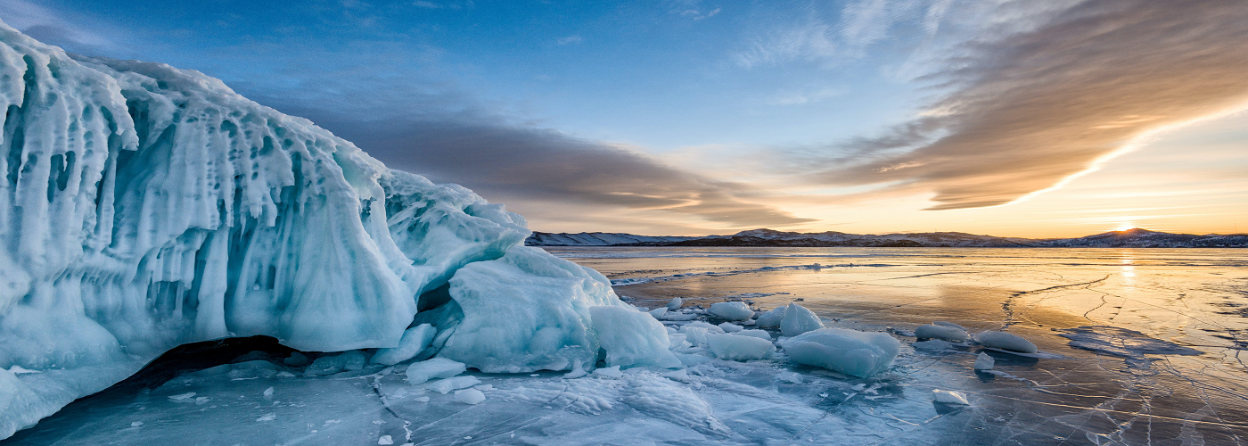

Off the coast of the Carolinas and extending as far south as the Florida Keys, climate modeler Dr. Alan Condron and research geologist Dr. Jenna Hill have discovered some remarkable large scour marks in the seafloor after examining high resolution maps of the seabed. What is so remarkable about these scour marks is that they were likely caused by large icebergs scraping along the seafloor.
The sea surface temperatures south of Cape Hatteras, North Carolina range from 68-77°F (20-25°C) and the Gulf Stream current flows northward in this region, so in order for any icebergs to have made these scour marks in the past, there must have been a considerable flow of meltwater and ice coming from the north in order to overcome both the warm ocean water and opposing current.
First, in order to determine when these scour marks were created; the two researchers took multiple sediment cores in and around the scour marks. By using radiocarbon dating of the sediment, they arrived at a date of around 31,000 years ago. This date corresponds to a period known as Heinrich Event 3, which was a time during the last glacial period where there was a massive discharge of icebergs into the North Atlantic.
In order to better understand how such a discharge was capable of spreading icebergs as far south as Florida, Dr. Condron employed an ocean-sea ice computer model, which not only could simulate how the icebergs melted, but also how the colder fresh meltwater interacted with the existing warmer ocean currents. What he found was that at least 79 trillion tons of ice would need to have been released near Hudson Bay, Canada in order to get icebergs as far south as the Carolinas, and a discharge twice that size to get icebergs down to the Florida coast. What the computer model also uncovered was that a narrow corridor of cold meltwater traveled southward, right along the east coast of the United States, enabling icebergs to melt slow enough to make the scour marks that the team uncovered on the sea floor. Basically, the icebergs surfed along this cold southward coastal current with the warmer Gulf Stream current passing beneath.
While icebergs as far south as Florida aren't something scientists are concerned about in the near future, this study does advance the knowledge of how ice and meltwater interacts with the Gulf Stream and other Atlantic currents, which will help to improve our understanding of climate and climate modeling.


 Paul Trambley
 Derek Heit
 Jennifer Wojcicki
 Laura Lockwood
 Ray Miller