X

Login with facebook to post comments, pictures, and reports.
change post type
W E A T
H E R O
L O G Y
Socialize your weather...
General Comment
Snow
Rainfall
Wind
Hail
Fog
Blizzard
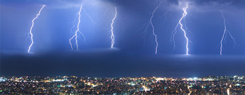
Tornado
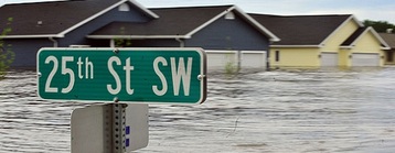
Flood
Where are you?
Home
Elsewhere (click on map)
Use the map to choose your location...
When was this?
Send to Weatherology
Send to Weatherology & Facebook
fly build